
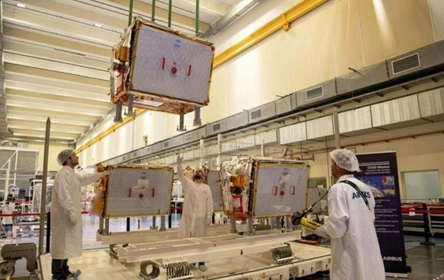


The four latest generation optical satellites, developed and built by Airbus in partnership with the French Space Agency CNES are on their way to their launch pad in French Guiana.
The satellites left Toulouse, France, for the European Space port in Kourou, French Guiana, for launch by Arianespace on a Vega-C rocket on 25 July.
Designed and built by Airbus, the CO3D (Constellation Optique 3D) dual-use satellites will deliver a global high-resolution Digital Surface Model (DSM) service to CNES providing 50 cm stereo imagery as well as 2D imagery for government and commercial customers. In addition, the CO3D satellites will strengthen Airbus' solutions of optical and radar satellites.
“CO3D is not only a step up in operational capability, it is also a game changer in terms of technological, industrial and commercial innovations. A partnership in French ingenuity, thanks to strong support from CNES, it will further enhance the S250: our next generation dual-use optical satellite product that is already attracting particular interest in today’s geo-political context,” said Alain Fauré, Head of Space Systems at Airbus.
Weighing around 285 kg each and equipped with full electric propulsion, the four spacecraft will operate for eight years, in pairs orbiting on opposite sides of the Earth, with the satellites in each pair 100 km apart. They will be able to provide stereo imagery from a heliosynchronous orbit at 502 km altitude.
This data will feed a cloud-based ground segment operated by Airbus, including an image processing chain delivered by CNES, to produce a cutting-edge 3D map of the Earth’s landmass. This data will answer both the military need for precise and up-to-date cartography as well as civil applications such as hydrology, geology, civil security, urban planning and land and resource management.
After six months of in-orbit testing, the satellites will take 18 months to deliver a 3D map of France and the ‘crisis arc’ to CNES. Following completion of the mapping service, the satellites will be available for other imagery missions and customers.
-

-
27 June 2025